Établissements pour personnes handicapées : Carentoir
4 fiches, par ordre alphabétique
Sur la carte
ATELIER PROTEGE LE BOIS JUMEL
ÉtablissementESAT LE BOIS JUMEL
ÉtablissementFOYER HEBERGEMENT LE BOIS JUMEL
ÉtablissementSAVS LE BOIS JUMEL
ÉtablissementCarentoir en bref
Carentoir est une commune d’une superficie totale de 5902 hectares, son altitude varie entre 7 et 109 mètres.
- Population
- 2 500 hab.
- Habitants
- Carentoriens, Carentoriennes
- Superficie
- 59,02 km²
- Altitude
- 7 à 109 m
- Code postal
- 56910
- Département
- Morbihan
- Canton
- La Gacilly
- Site de la mairie
- www.carentoir.com
Carentoir en images
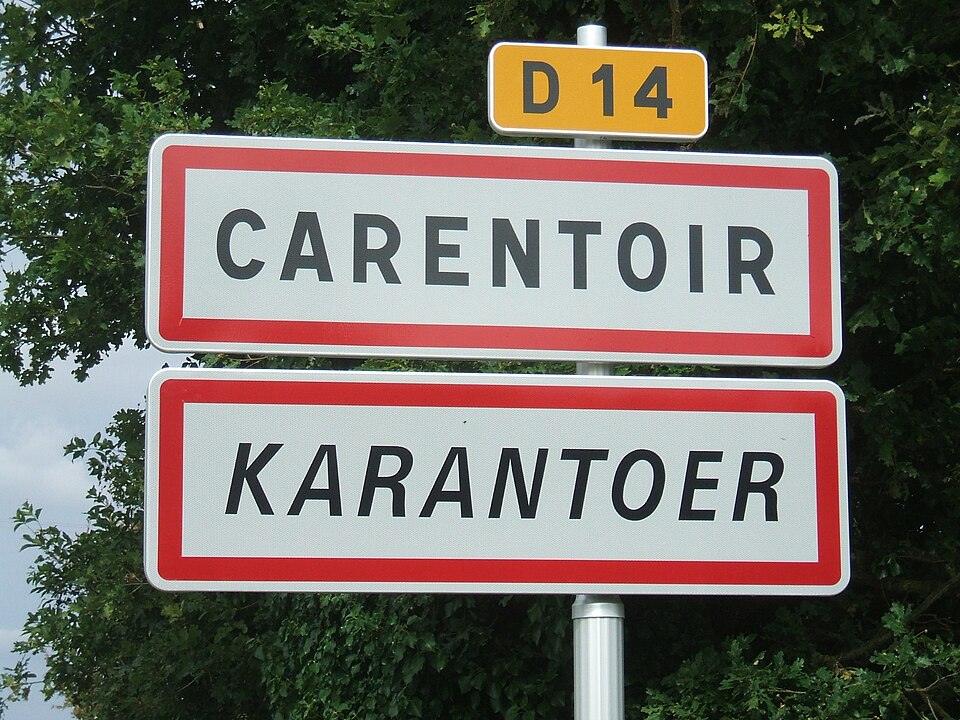
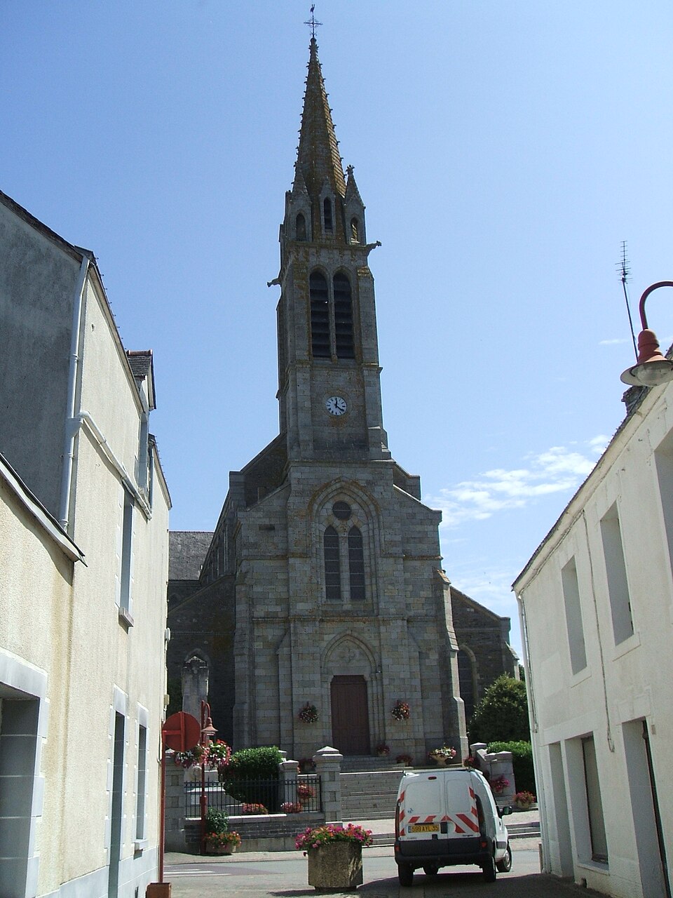
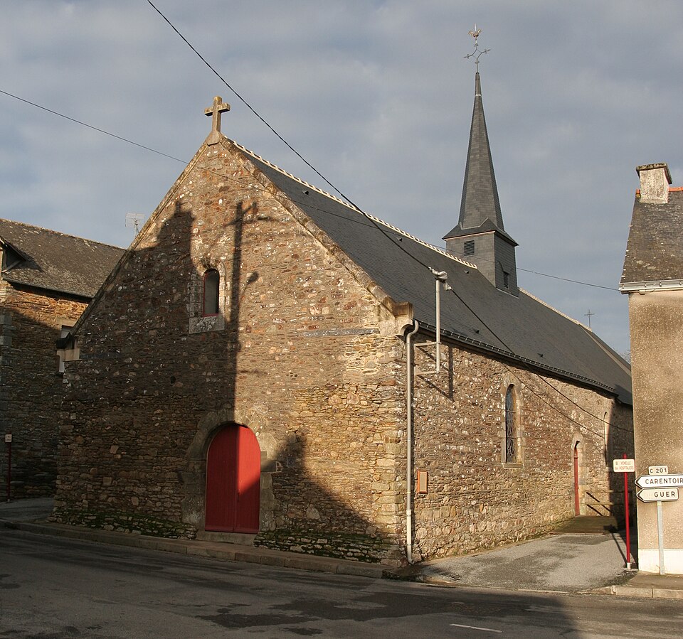
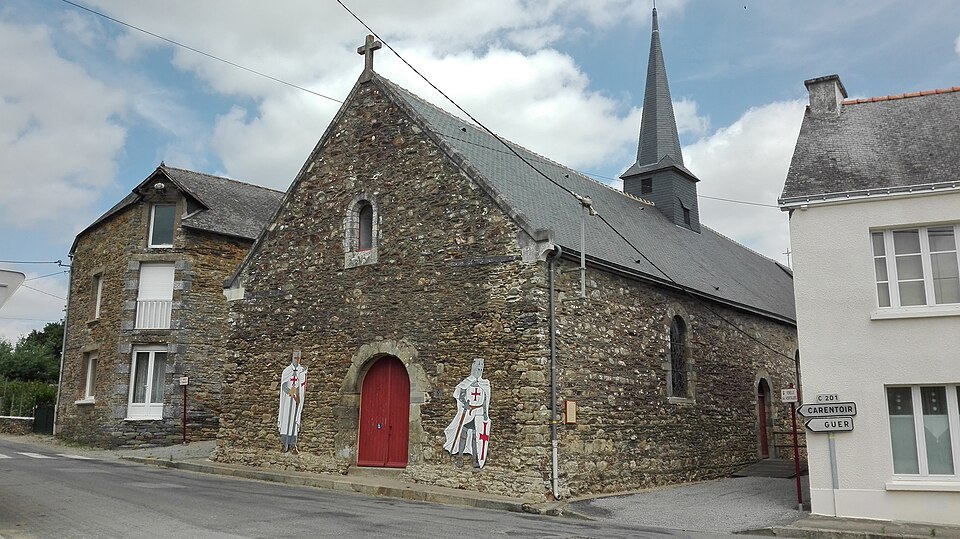
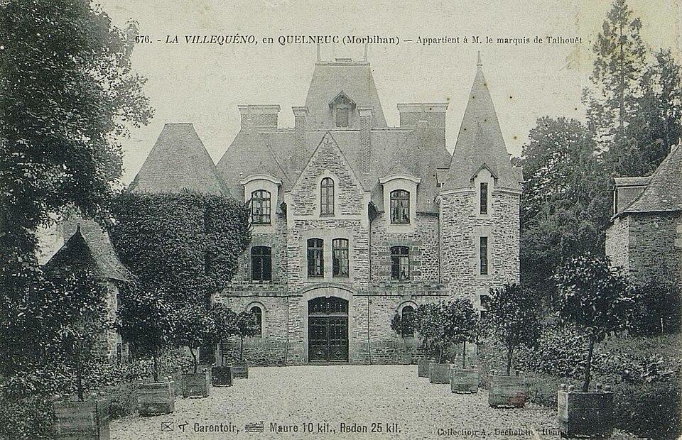
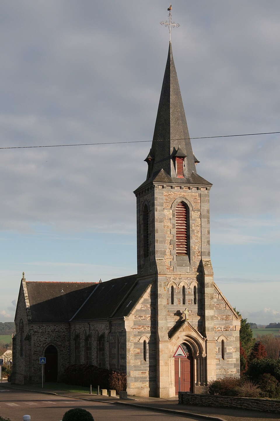
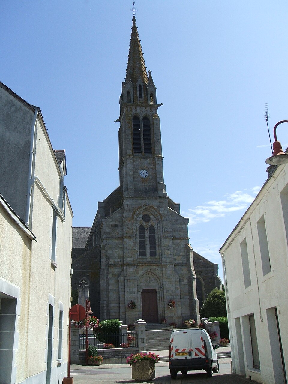
Images : blason Celbusro (CC BY-SA 3.0) ; photo Ludovic NICOLAS (CC BY-SA 3.0), via Wikimedia Commons.