Établissements pour personnes handicapées : Pierrefiche
1 fiche, par ordre alphabétique
Sur la carte
Pierrefiche en bref
Pierrefiche est une commune d’une superficie totale de 1682 hectares, son altitude varie entre 1074 et 1285 mètres.
- Population
- 200 hab.
- Habitants
- Pierrefichois, Pierrefichoises
- Superficie
- 16,82 km²
- Altitude
- 1074 à 1285 m
- Code postal
- 48300
- Département
- Lozère
- Canton
- Châteauneuf-de-Randon
- Intercommunalité
- CC du Canton de Châteauneuf de Rendon
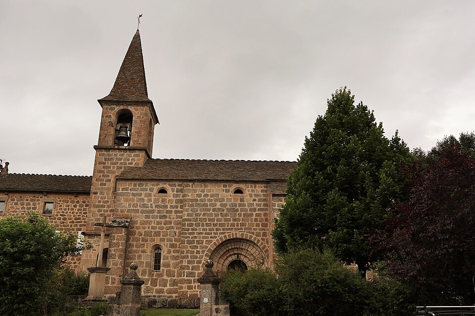
Images : photo FredSeiller (CC0), via Wikimedia Commons.