Infirmiers : Lyons-la-Forêt
9 fiches, par ordre alphabétique
Sur la carte
CALTOT Laura
CASSISA Thomas
CHAMPROUX Stephanie
CUCHOR Matthieu
GAZALIOU Celine
LAQUIEVRE Valerie
LE PEN Laura
LEVIEUX Sandrine
ROBLET Audrey
Lyons-la-Forêt en bref
Lyons-la-Forêt est une commune d’une superficie totale de 2699 hectares, son altitude varie entre 67 et 178 mètres.
- Population
- 800 hab.
- Habitants
- Lyonsais, Lyonsaises
- Superficie
- 26,99 km²
- Altitude
- 67 à 178 m
- Code postal
- 27480
- Département
- Eure
- Canton
- Lyons-la-Forêt
- Intercommunalité
- CC du Canton de Lyons la Forêt
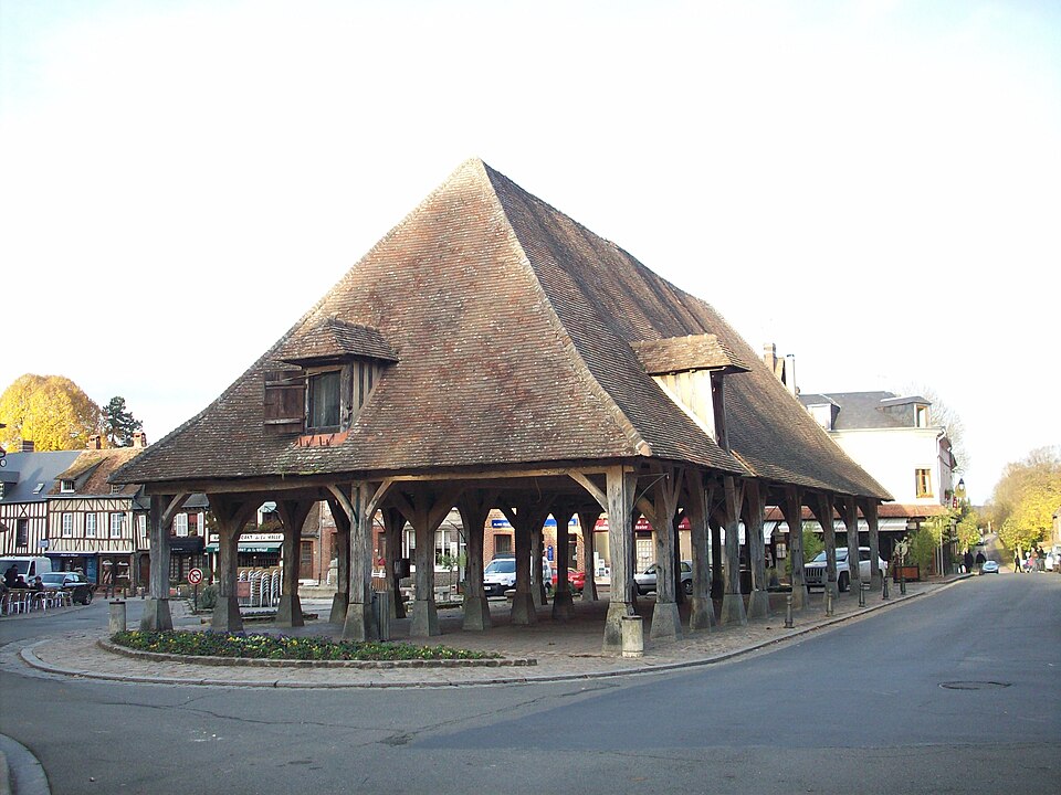
Images : blason Chatsam (CC BY-SA 3.0) ; photo Giogo (CC BY-SA 3.0), via Wikimedia Commons.