Kinésithérapeutes : Charentilly
4 fiches, par ordre alphabétique
Sur la carte
CASTELLA Nathalie
GERBIER Ophelie
GILLOT Aurore
PAYRE Juliette
Charentilly en bref
Charentilly est une commune d’une superficie totale de 1413 hectares, son altitude varie entre 73 et 122 mètres.
- Population
- 1 000 hab.
- Habitants
- Charentillais, Charentillaises
- Superficie
- 14,13 km²
- Altitude
- 73 à 122 m
- Code postal
- 37390
- Département
- Indre-et-Loire
- Canton
- Neuillé-Pont-Pierre
- Intercommunalité
- CC de Gâtine et Choisilles
Charentilly en images
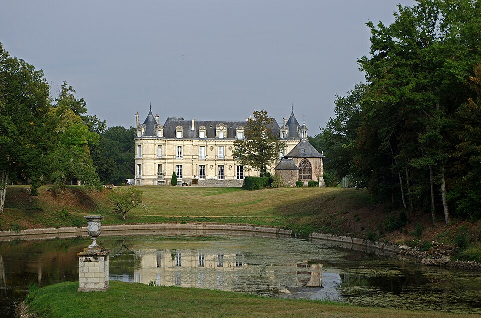
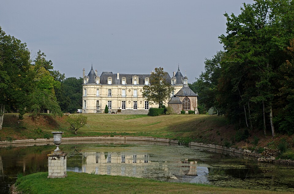
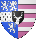
Images : blason Wikimedia Commons (domaine public) ; photo Daniel Jolivet (CC BY 2.0), via Wikimedia Commons.