Ostéopathes et chiropracteurs : Châtres-sur-Cher
1 fiche, par ordre alphabétique
Sur la carte
Châtres-sur-Cher en bref
Châtres-sur-Cher est une commune d’une superficie totale de 3533 hectares, son altitude varie entre 87 et 157 mètres.
- Population
- 1 100 hab.
- Habitants
- Castrais, Castraises
- Superficie
- 35,33 km²
- Altitude
- 87 à 157 m
- Code postal
- 41320
- Département
- Loir-et-Cher
- Canton
- Mennetou-sur-Cher
- Intercommunalité
- CC du Romorantinais
- Site de la mairie
- mairie.pagespro-orange.fr/achatres
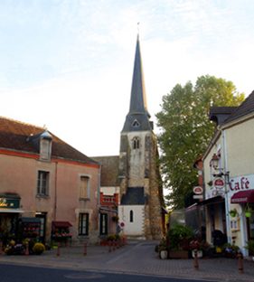
Châtres-sur-Cher en images
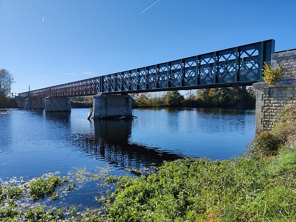
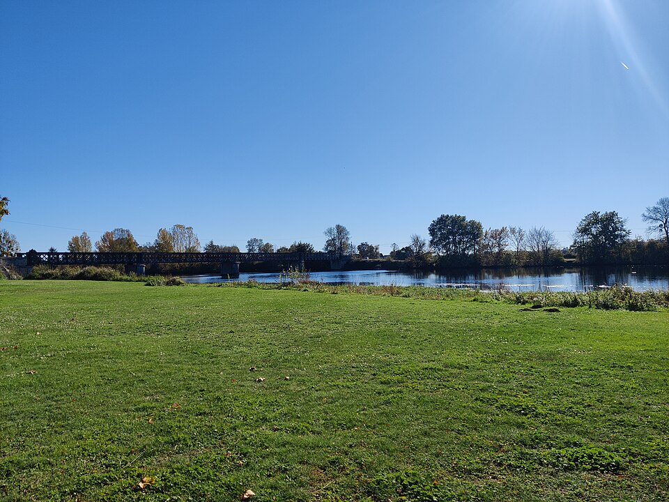
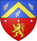
Images : blason Esprit04 (domaine public) ; photo Jean-Michel Kossa . (domaine public), via Wikimedia Commons.