Professionnels et établissements de santé : Chastanier
3 fiches, par ordre alphabétique
Sur la carte
Centre Médical Interentreprise de Santé au Travail (C.M.I.S.T)
Établissementehpad du centre hospitalier de langogne
Établissementusld du centre hospitalier de langogne
ÉtablissementChastanier en bref
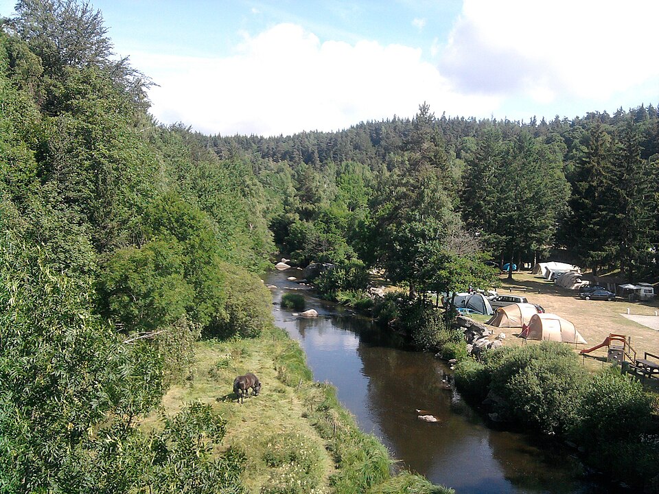
Chastanier est une commune d’une superficie totale de 1041 hectares, son altitude varie entre 952 et 1169 mètres.
- Population
- 100 hab.
- Habitants
- Chastaniérois, Chastaniéroises
- Superficie
- 10,41 km²
- Altitude
- 952 à 1169 m
- Code postal
- 48300
- Département
- Lozère
- Canton
- Langogne
- Intercommunalité
- CC du Haut Allier
Images : blason Chatsam (CC BY-SA 3.0) ; photo Gilles Guillamot (CC BY-SA 3.0), via Wikimedia Commons.