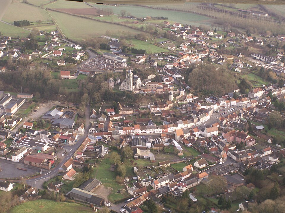
Professionnels et établissements de santé : Domart-en-Ponthieu
7 fiches, par ordre alphabétique
Sur la carte
BEN SALEH Jawad
CANDELIER Pierre
CROUTELLE-BAILLET Stephanie
DUSSUEL Simon
EECKHOUT Chloe
EHPAD DOMART-EN-PONTHIEU
ÉtablissementPHARMACIE PATELOUT-DAIRAINE
ÉtablissementDomart-en-Ponthieu en bref
Domart-en-Ponthieu est une commune d’une superficie totale de 1793 hectares, son altitude varie entre 32 et 132 mètres.
- Population
- 1 100 hab.
- Habitants
- Domartois, Domartoises
- Superficie
- 17,93 km²
- Altitude
- 32 à 132 m
- Code postal
- 80620
- Département
- Somme
- Canton
- Domart-en-Ponthieu
- Intercommunalité
- CC du Val de Nièvre et environs
Domart-en-Ponthieu en images
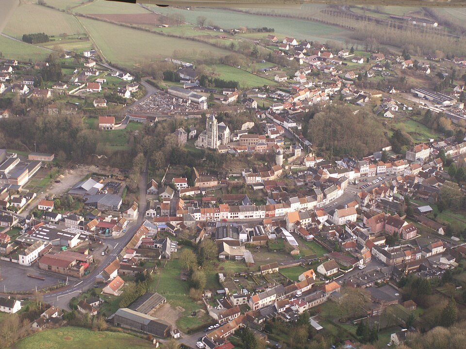
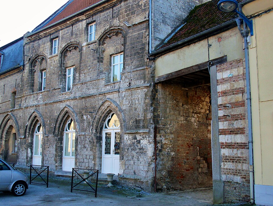
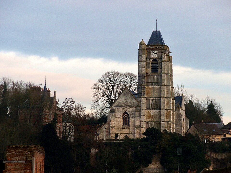
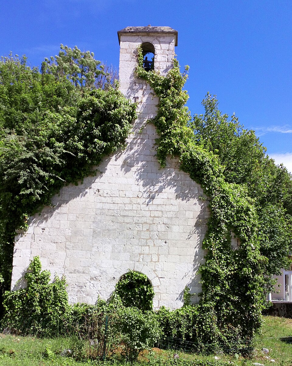
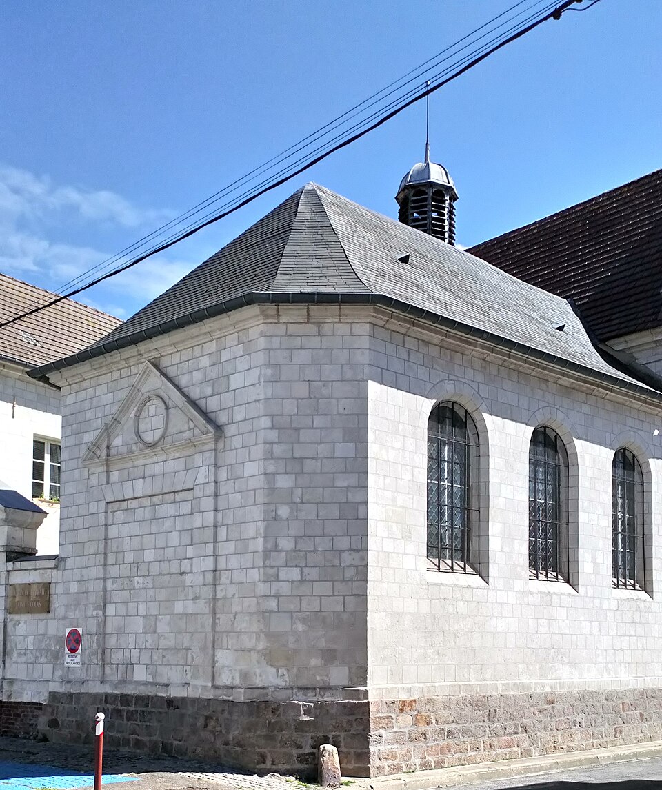
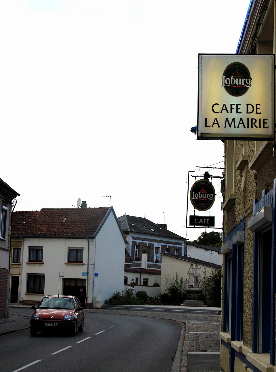
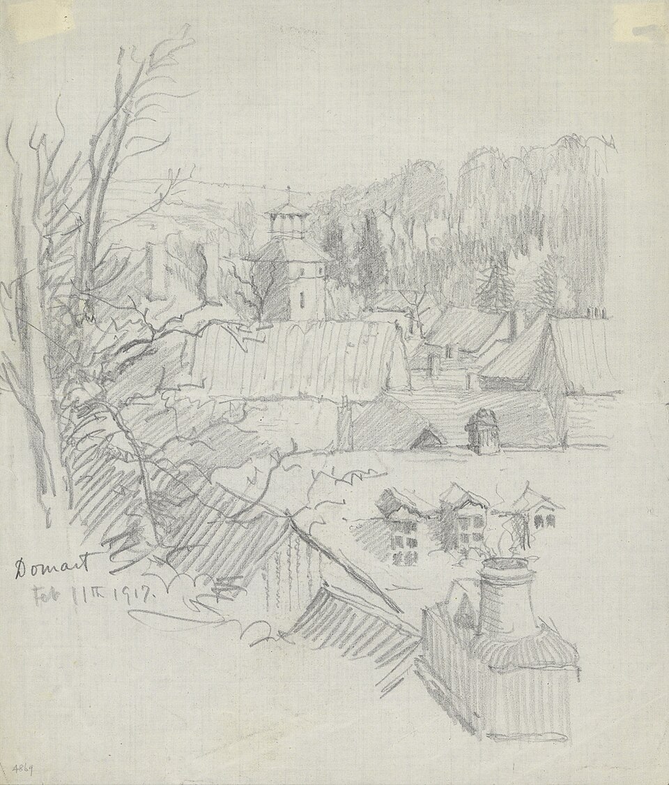
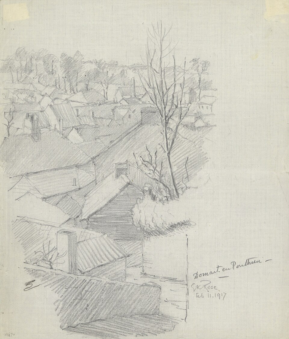
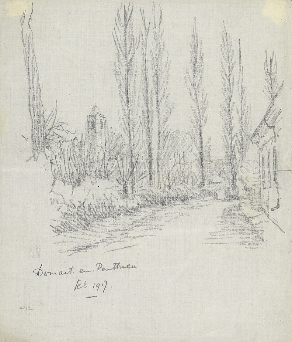
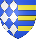
Images : blason Wikimedia Commons (CC BY-SA 4.0) ; photo Oogheger (CC BY-SA 3.0), via Wikimedia Commons.