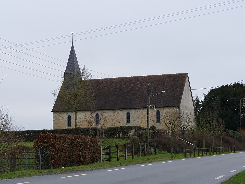
Professionnels et établissements de santé : Larré
2 fiches, par ordre alphabétique
Sur la carte
Larré en bref
Larré est une commune d’une superficie totale de 567 hectares, son altitude varie entre 140 et 166 mètres.
- Population
- 400 hab.
- Superficie
- 5,67 km²
- Altitude
- 140 à 166 m
- Code postal
- 61250
- Département
- Orne
- Canton
- Alençon 3e Canton
- Intercommunalité
- CC de l'Est - Alençonnais
Images : photo This illustration was made by Peter Potrowl. Please credit… (CC BY-SA 4.0), via Wikimedia Commons.