Professionnels et établissements de santé : Payrignac
10 fiches, par ordre alphabétique
Sur la carte
ARLET FEVRE Celine
BALAN Claudine
DURVIAUX Valerie
FRANZ Ghislain
LAVIGNE Marine
RODE Emilie
SOENEN Carl
TOUTEE Sandrine
VANDOORNE Maryse
VASSEUR Aurelien
Payrignac en bref
Payrignac est une commune d’une superficie totale de 2164 hectares, son altitude varie entre 95 et 232 mètres.
- Population
- 600 hab.
- Habitants
- Payrignacois, Payrignacoises
- Superficie
- 21,64 km²
- Altitude
- 95 à 232 m
- Code postal
- 46300
- Département
- Lot
- Canton
- Gourdon
- Intercommunalité
- CC Quercy - Bouriane
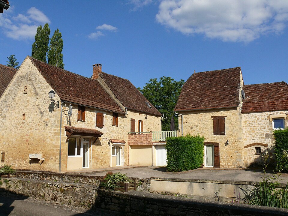
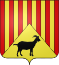
Images : blason Wikimedia Commons (domaine public) ; photo This illustration was made by Peter Potrowl. Please credit… (CC BY-SA 3.0), via Wikimedia Commons.